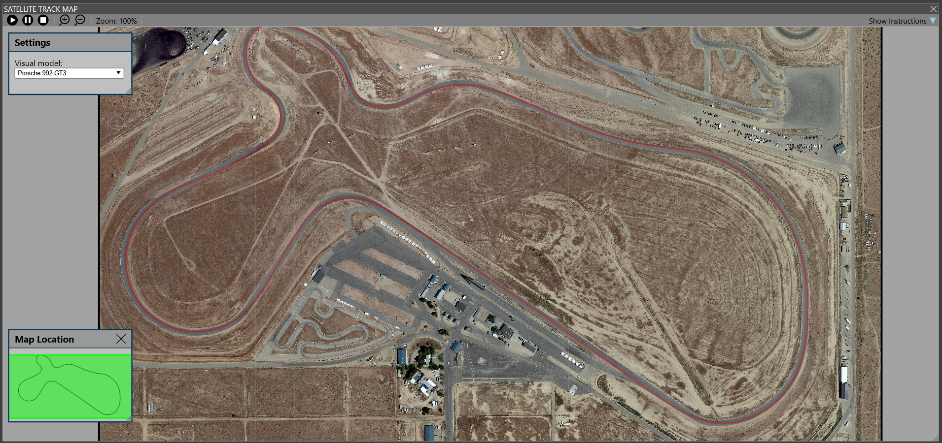
The satellite track map is an element that can be included in your layouts, just like the standard
track map, or any other trace, data tile, etc. It is available under the Display menu.
When available, your driving line will be displayed over an aerial image of the track. This makes
it easy to see exactly where you are on the track.
Using the buttons on the top left you can play back your lap and see your progress. The map will zoom
in to the car by default but you can adjust the zoom and location as you see fit.
The car model will show basic information including g-forces, and pedla inputs.
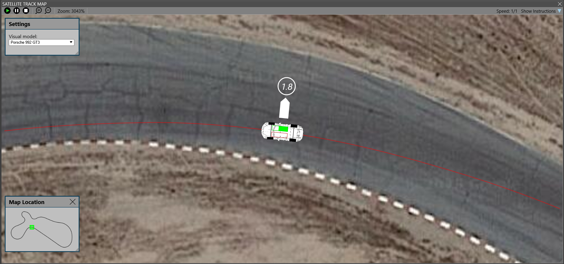
The Settings box lets you change the car model being used. See the Car Models page if you'd like to create
you own models.
The Map Location box highlights exactly where you are on the full track map.
These boxes can be moved around by dragging their title bars.
Note the satellite track map is not available for all sims or tracks.
 Manual Index